Bethany from Hoorn, October 17, 2006 (87 k)
Well it was a cold night. I always had a cold side and Bryan was commandeering both of the air mattresses from the position he had found to keep warm. But we did get up to sun. And wind. Bryan braved the cool weather and made oatmeal porridge on our stove flavoured with muesli, chocalate, AND peanut butter. We then hit the dike going towards the Afsluitdijk. This time we decided to try cycling on the outer side of the dike at the suggestion of a gentleman at the campground. We need a little extra help pushing our bikes up and over the dike as we crossed at a set of stairs and not a cycle path. We had about 9 km off this before we reached the North Sea Barrier Dike.
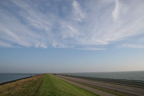
The Afsluitdijk was built during the 1930’s. It is a 26 km long dike that separates the North Sea from the IJsselmeer or inner sea of the Netherlands, the body of which water Amsterdam is adjacent. It was interesting to cycle across this engineering feat but it was boring. 26km of looking at only water, highway, cycle path, and dike was just a little too monotonous. There were not even any sheep. And there was a good cross to head wind. We were happy to reach the town of Den Oevere on the far side where we had lunch and found a tourist bureau.
We had maps for travelling along the North Sea coast but knew it would not be the most efficient route to Amsterdam. One option was to just follow the main highway and the sign postings for Amsterdam but we wanted to see if we could go by following the IJsemeer. Maps found, we set off again along the dikes. These dikes were not as large as the North Sea dikes nor did they have quite the same abundance of sheep. Crops around them seemed more diverse as well with carrots and cabbages among others. Initially we went through “new land” which was claimed from the sea only about 80 years ago. Looking at our cycling map and going through the region, the distinction between old and new is readily apparent. Farmyards were well separated and the roads were more gridlike. Reaching the”old land”, a maze of canals and roads started. It was easy to follow though using the cycle postings that are based on a nodal design. “I’m at 68 and I follow the signs to 94, the 55, etc.”
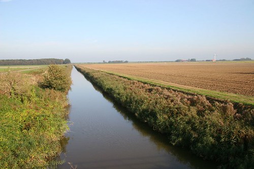
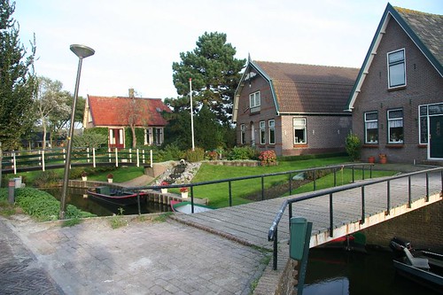
Towns in the older regions were definitely canal based as almost every house fronts water. Canals here are wider and more navigable by boat than we have seen earlier which speaks towards their importance as both drainage and transportation.
Tonight were are near Hoorn which, going the direct route, is about 35 km away from Amsterdam. Hopefully the change in weather predicted for tomorrow does not happen!
Comments
jason on 24 Oct 23:17
Jeremy on 25 Oct 00:04
Frances on 25 Oct 12:38
bryan on 26 Oct 08:19